Por Hernán J. Elena.
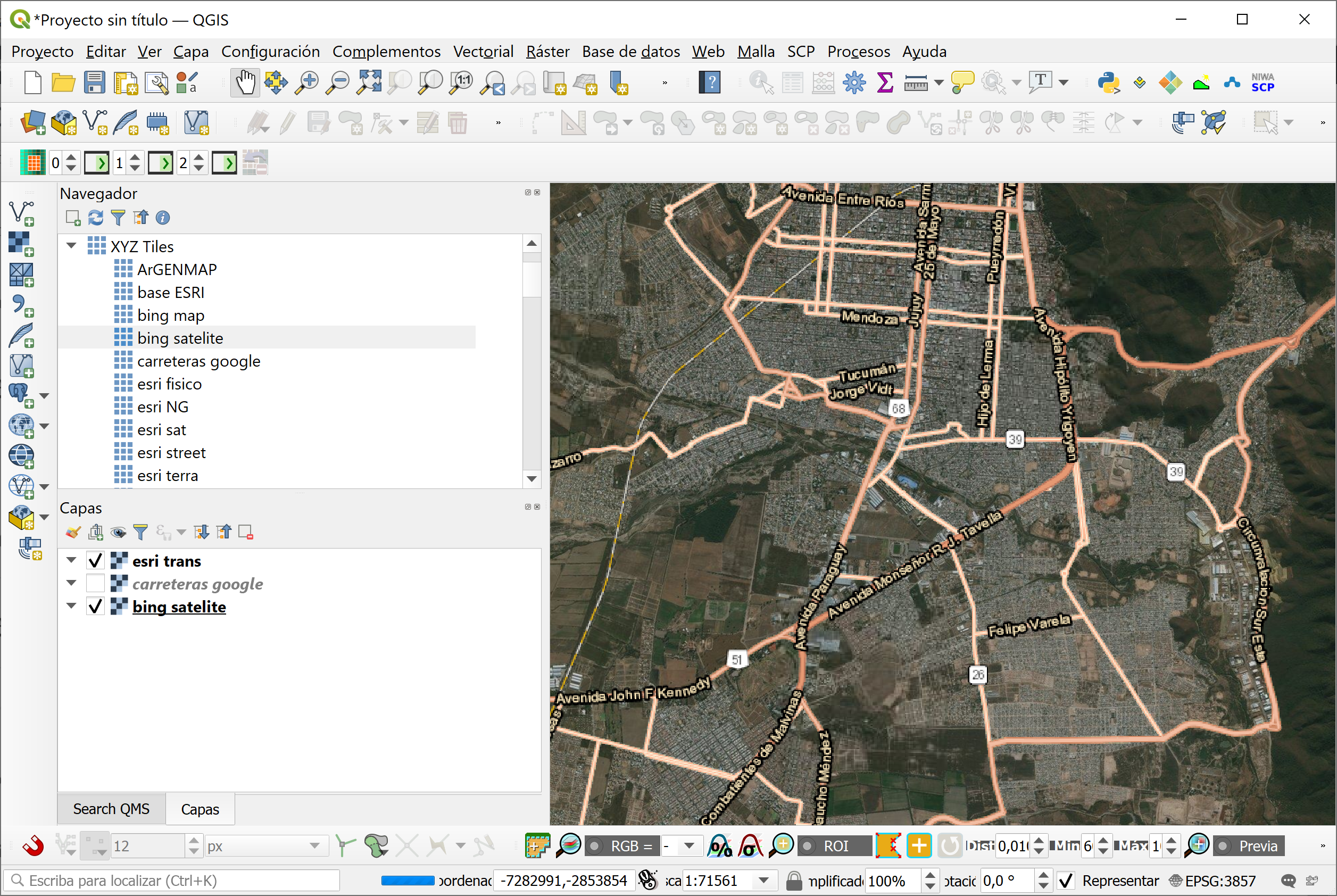
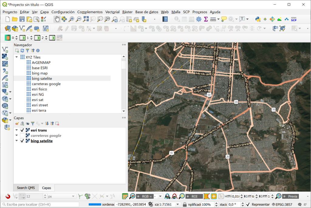
Si leiste en nuestro Blog el artículo “Mapa base ArgenMap en QGIS usando XYZ Tiles” entonces te contaremos sobre más capas bases que puedes utilizar gratuitamente en tus proyectos de SIG.
La forma de agregarlos es la misma que se menciona en el artículo. Entonces… aquí están ellos:
Proveedor OpenStreetMap
OpenStreetMap: http://tile.openstreetmap.org/{z}/{x}/{y}.png
Proveedor Google
Google Maps: https://mt1.google.com/vt/lyrs=r&x={x}&y={y}&z={z}
Google Satellite: http://mt0.google.com/vt/lyrs=s&hl=en&x={x}&y={y}&z={z}&s=Ga
Google Hybrid: https://mt1.google.com/vt/lyrs=y&x={x}&y={y}&z={z}G
Google Traffic: https://mt1.google.com/vt?lyrs=h@159000000,traffic|seconds_into_week:-1&style=3&x={x}&y={y}&z={z}
Google Roads: https://mt1.google.com/vt/lyrs=h&x={x}&y={y}&z={z}
Proveedor Bing
Bing maps: http://ecn.dynamic.t0.tiles.virtualearth.net/comp/CompositionHandler/{q}?mkt=en-us&it=G,VE,BX,L,LA&shading=hill
Bing Satélite: http://ecn.t3.tiles.virtualearth.net/tiles/a{q}.jpeg?g=0&dir=dir_n’
Proveedor Esri
ESRI Imagery/Satellite: https://server.arcgisonline.com/ArcGIS/rest/services/World_Imagery/MapServer/tile/{z}/{y}/{x}
ESRI National Geographic: http://services.arcgisonline.com/ArcGIS/rest/services/NatGeo_World_Map/MapServer/tile/{z}/{y}/{x}
ESRI Physical: https://server.arcgisonline.com/ArcGIS/rest/services/World_Physical_Map/MapServer/tile/{z}/{y}/{x}
ESRI Streets: https://server.arcgisonline.com/ArcGIS/rest/services/World_Street_Map/MapServer/tile/{z}/{y}/{x}
ESRI Terrain: https://server.arcgisonline.com/ArcGIS/rest/services/World_Terrain_Base/MapServer/tile/{z}/{y}/{x}
ESRI Topo: https://server.arcgisonline.com/ArcGIS/rest/services/World_Topo_Map/MapServer/tile/{z}/{y}/{x}
ESRI Transportation: https://server.arcgisonline.com/ArcGIS/rest/services/Reference/World_Transportation/MapServer/tile/{z}/{y}/{x}
A disfrutar!!!